Description

Rocher de Milly
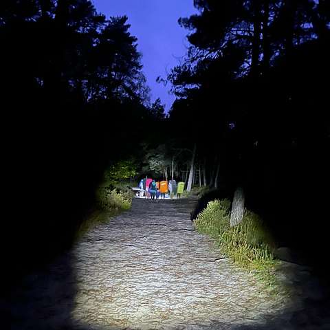
One of the furthest approaches in Fontainebleau, but then again, not a hard one. A straight road of about 2km will take you to the area. Also easy to approach with the help of a bike.
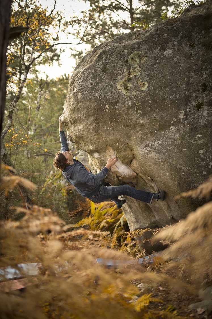
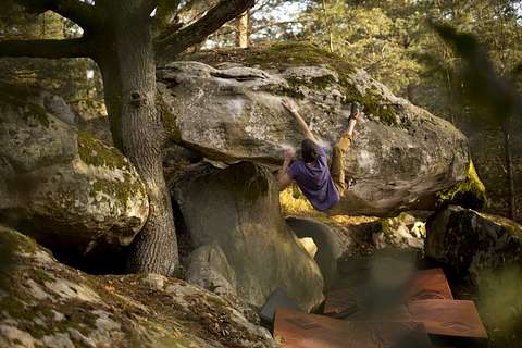
The area only features high class problems and a lot of rocks that has or has not been climbed, maybe a good place to hunt for some quality first ascents.

Without GPS coordinates, finding the boulder would be hard. So download the guide and find want you want without problems. It's usually the easiest to stick to the bigger paths for longer walks in-between the rocks.
Rocher de Milly

Climbing has been limited!

The forests of Fontainebleau, Trois Pignons and Commanderie remain closed to the public until further notice. The entire forest remains very vulnerable to fire risk.

We urge everyone to act responsibly and to be patient: do not enter the forest, do not go to the burned areas, and ensure that access routes for emergency vehicles remain clear.

Park as shown on the map. Take enough food and water and head out for about a 2km walk (First boulders around 1.8km from parking, last ones closer to 3km away). After the crossing of Route du liteau, you have reached the area. The area stretches on for a long way, so stay on Route du Milly until you reach your desired boulder. For the most eastern parts you can actually park on the east side. Both ways in are easy, but long.

There is also a third option, parking as for Isatis, and walking from there. From the parking of Franchard Isatis it's about 1.8km to reach Le Kraken, if you manage to navigate with the smaller paths taking you there. This approach will though take you over a hill, but might be as good of an option for some of the boulders.

As always, behave, leave no traces etc.