Description

Mont Aigu and western parts of Long Boyau.
Features a lot of problems and located very close to Fontainebleau. It's the opposite hill of Long Boyau, so combining these two is easy.
There are 3 circuits in Mont Aigu.
🟡 Yellow PD, 🟠 orange AD and a 🔵 Blue D+. Besides circuit problems you can find a big amount of off-circuit problems in very high quality.
In this guide you can find the entire hill of Mont Aigu and the western newly developed areas called "Cosmos". This area stretches also on the south side of Route du Mont Aigu also known as Long Boyau ouest. There are some real gems waiting there for you.
Because it's a "mont", it's not always super stroller friendly, but it's an easy straight walk in from the parking. And the area itself is very very children friendly.
If you haven't spent a day here, now is a good time to do so.
The area dries fairly quickly after rain also.

📶Even though phone reception is mostly good, it's always better to download the guide for offline use.

Have fun
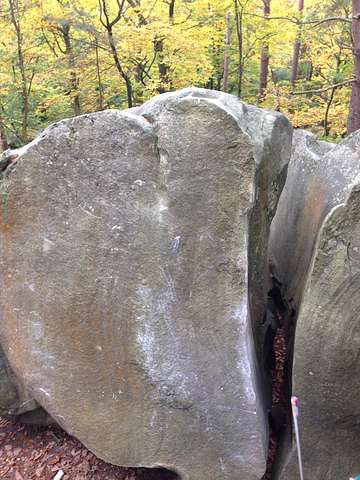
Mont Aigu

Climbing has been limited!

Fontainebleau closed until July 20
Due to fire risk and dry forest conditions, ONF has closed all of Fontainebleau to the public until Monday, July 20, 6:00 AM. Parking lots and access roads are barrier-taped to keep them clear for emergency services.
Please stay out until the closure lifts — check back here for updates.

Park at the main parking showed on the map and walk the recorded trail (about 15min). The area will be visible on the right side of Route du Mont Aigu just 2..3 minutes of walking after a big crossing/opening with a lot of paths. The start of the circuit is super visible, only 10m from the path. This is also an easy way into the main area. For the further rocks, keep to Route du Mont Aigu for another 2-7 minutes about. These rocks are splattered on both sides of the path.

There is also an optional western parking shown. This is the parking at Gorges du houx/Franchard Raymond, the walk in is about as far for the most western rocks. Easiest is still the parking shown on map on the east side of the area.