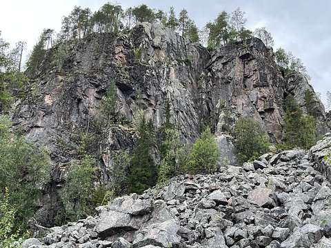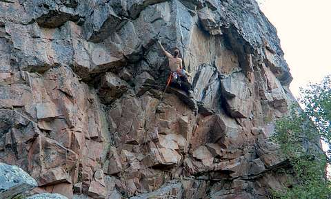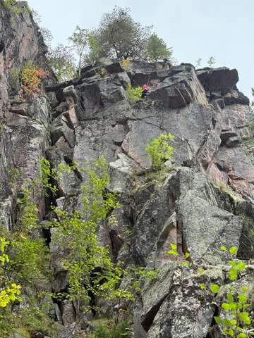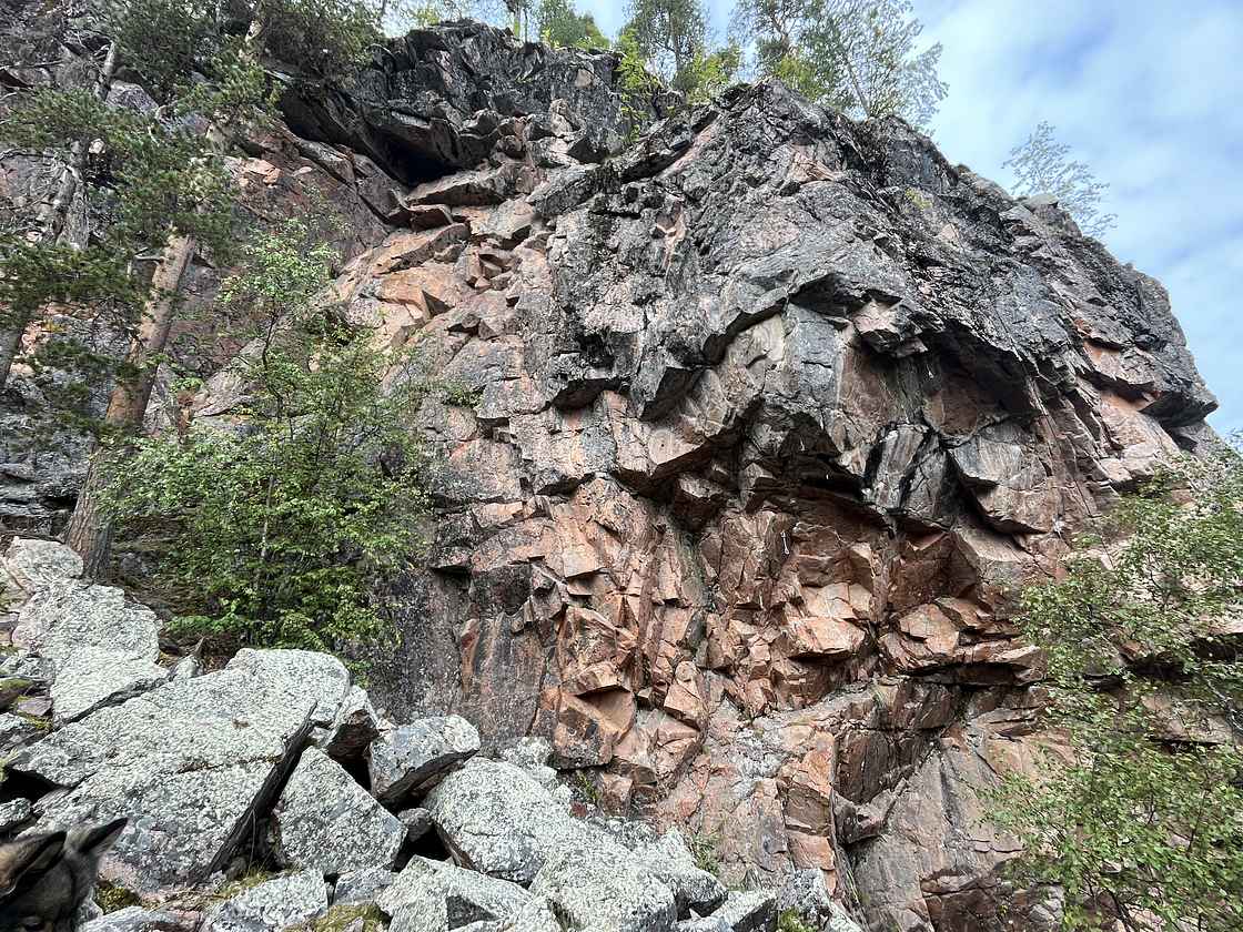
Korouoma is an impressive 30-kilometre canyon. At its deepest the gorge is approximately 100-130 metres deep. The bottom of this canyon is level and it is 200 to 500 metres wide.
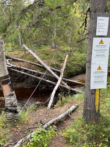
⚠️ "Rock climbing in the Korouoma is restricted to the cliffs at the western end of the canyon. (Ice climbing is allowed at all waterfalls in the area.)"
⚠️ 📅 "Getting around in the Pirunkirkko area should be avoided from May 1st to July 31st (1.5.–31.7.) to prevent disturbance to the endangered species present in the area."
📅 = Season for rock climbing: August–September.
⚠️ Loose rock very possible!
🧭 Aspect: Main aspect is North-East, but sectors and faces vary: Pirunkirkko SE, Taivas 360 etc.
↕ Route length: Sport 10–25m, trads 20–60m – longest trads in Finland. NOTE: Route lengths have been incorrect in past, Veitsileikkaus sector is not 50-60m long.
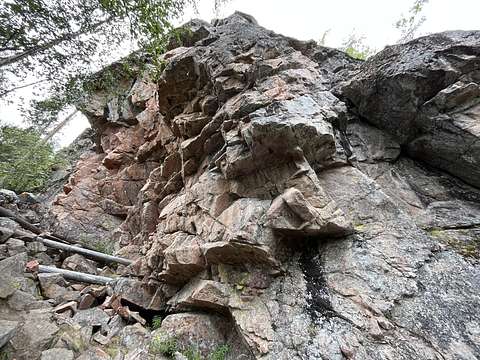
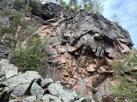
Rock type: Coarse red granite, which tends to split and crack.
🚰 Two-three stream on approach path
🚾 🚻 Toilet at Pirunkirkko lean-to shelter and at Koivuköngäs parking lot.
🔥 ⛺ Firepit and camping possible at Pirunkirkko lean-to shelter, firewood provided for free.
🤿 Swimming possible in River Korojoki.
# Sectors
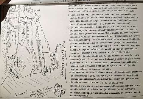
Pirunkirkko offers (very) steep sport climbing for the 6c-8a grade.
Taivas is another sport sector, around pillar boulder.
On other sectors it is mostly trad and often adventurous.
Korouoma is also the ice & mixed climbing mecca of Finland - see Korouoma Winter topo for that.
📚 Topo book "Korouoma – Kiipeilyopas rotkolaaksoon" shows highlights, including most/all summer climbing. Published in 2024. Buy from Camu, Treeline etc.
☀️🌧️ Weather beta
Sadekartta shows past rain at precise 5 minute map https://sadekartta.fi/12/66.178/27.465/
Road camera in Pernu, abit east from Koro https://liikennetilanne.fintraffic.fi/kelikamerat/?cameraId=C14511